
3D Urban Digital Twins for Smart Cities
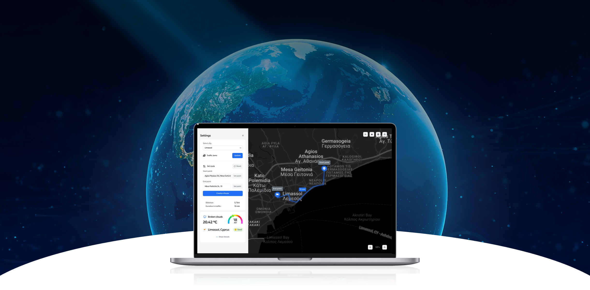
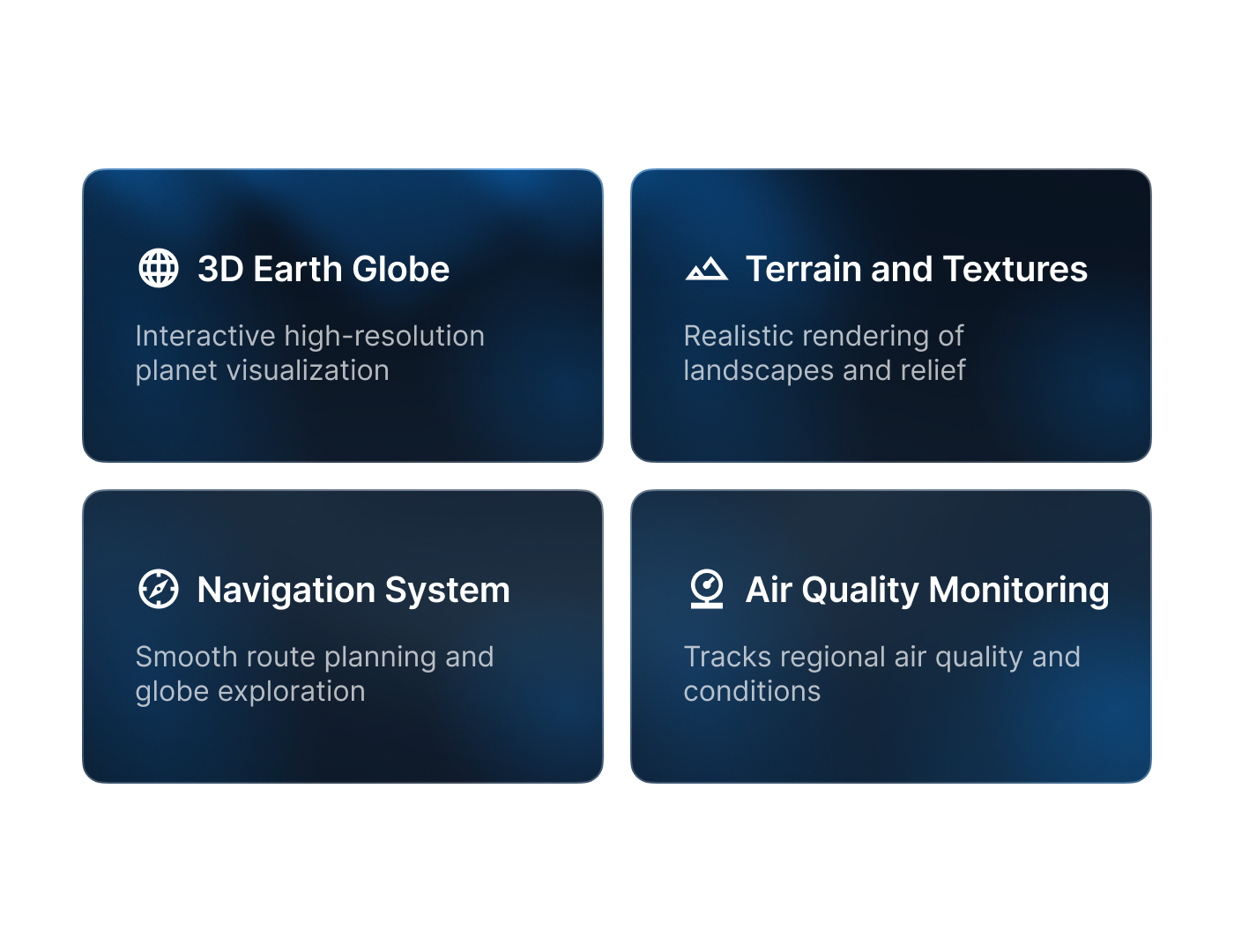
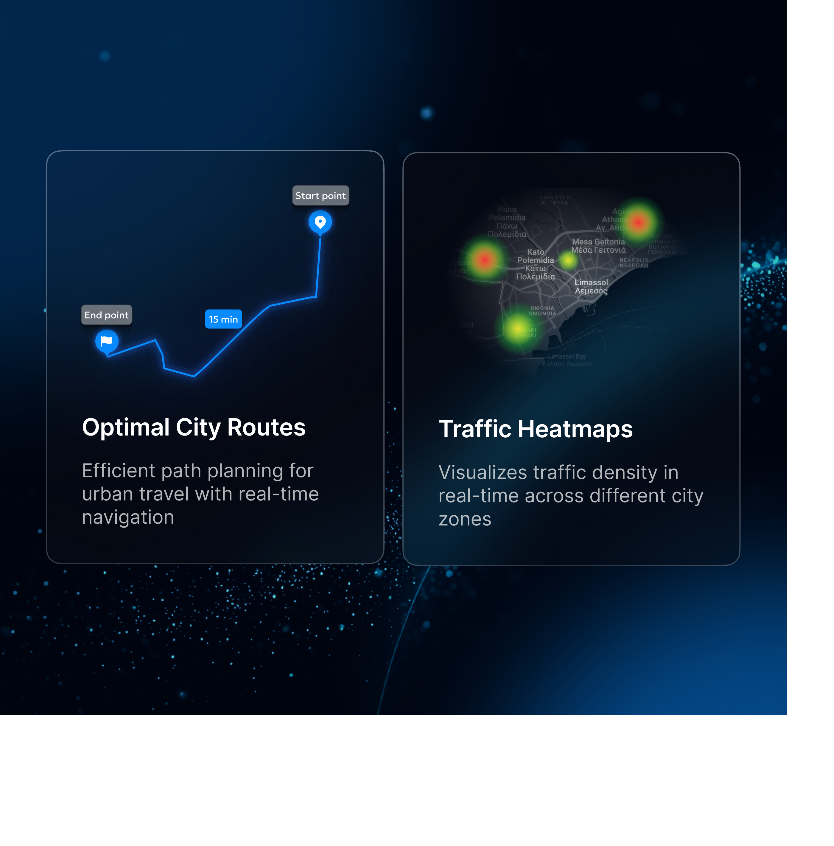
Program-Ace built scalable Cesium 3D digital twins for Limassol and Leipzig, enabling real-time browser visualization of terrain, structures, and live urban data.
Program-Ace implemented scalable 3D digital twins for Limassol and Leipzig, providing browser-based visualization of terrain, structures, and live urban data streams. The certified solution, built with Cesium, delivers real-time operational insight for municipal as well as environmental stakeholders.
Program-Ace delivered a secure browser-based application that consolidates geospatial data and live signals into a single decision-support system. The design focused on accuracy, usability, and cross-sector adoption.
The outcome is a functioning urban digital twin that combines static spatial layers with dynamic data, providing one clear and operational view for stakeholders.


Tell us more about your business needs to help us serve you better. The more detailed information will allow us to route your inquiry to the most appropriate person in our team.
By sending this form you agree to our Privacy Policy. The information you provide will be added to our CRM system for further communication.