CesiumJS for geospatial 3D
Program-Ace builds CesiumJS applications that render the real world in 3D in the browser, geospatial globes, smart-city digital twins, and live-data visualization at planetary scale.
- 30+ years on the market
- Unity and Unreal experts
- 4.8 on Clutch (46 reviews)
- NDA, secure SDLC










What is CesiumJS development?
Cesium development is building geospatial 3D software on the Cesium platform, 3D maps, terrain, and digital twins placed on accurate real-world geography, often streaming huge 3D Tiles datasets to the browser. Program-Ace builds this as a Cesium partner, measured by whether massive geospatial data renders accurately and performs at scale.
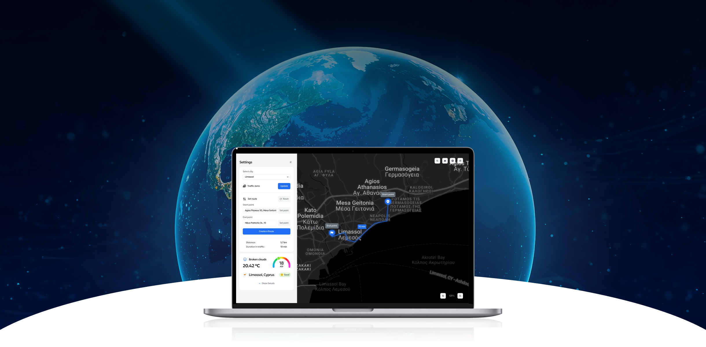
Program-Ace uses CesiumJS for the geospatial end of our digital twin and 3D visualization work, rendering the real world at planetary scale.
What Program-Ace delivers
- Planetary-scale 3DRender terrain, cities, and assets on a real globe.
- Browser-basedWebGL, no install, any modern browser.
- Live data on the mapStream sensor, IoT, and telemetry onto the world.
- Smart-city twinsGeospatial digital twins of infrastructure.
- Cesium ion tilingStream massive 3D efficiently.
CesiumJS challenges we solve
Geospatial 3D at scale is hard: data volume, performance, and live feeds. We handle all three.
Massive 3D data that will not load
Performance at planetary scale
Live data on the globe
Integration with GIS and systems
Accuracy and georeferencing
Scarce Cesium expertise
What we build with CesiumJS
From a 3D globe to a smart-city twin, in the browser at real-world scale.
3D globes and terrain
Interactive 3D globes and maps with your assets placed on accurate terrain and coordinates.
Smart-city digital twins
City-scale 3D for planning, construction, and operations, streamed to the browser via 3D Tiles.
Geospatial data visualization
Digital twins of sites, infrastructure, and assets, tied to live data and real geography.
Live and streaming data
Processing and streaming large datasets, point clouds, photogrammetry, BIM, into Cesium efficiently.
GIS and system integration
Cesium for Unreal and Cesium for Unity where a geospatial scene needs high-fidelity rendering.
3D tiles and Cesium ion
Connecting Cesium to your systems, sensors, and live feeds for a current, working geospatial view.
CesiumJS in the browser, at planetary scale
WebGL geospatial apps streamed from the cloud.
Browser
Cloud
Mobile web
What we build with it
Productized training solutions we deliver most often, each built to your procedures and standards.
How we build with it
A structured, outcome-driven path from training goals to measurable results, refined over 900+ projects.
Data and goal
Data preparation
CesiumJS development
Live data integration
GIS integration
Optimization
Testing
Launch and support
Industries we serve
Cesium delivers where geospatial context, terrain, or distributed assets matter.
Enterprise-grade engineering, security-first delivery
We build on the same real-time engines that power AAA games and industrial digital twins, backed by mature enterprise delivery, NDA-protected processes, and secure handling of your operational data.

"The teams that see the biggest gains treat simulation as a measurement tool, not just a training one. When you can score real competency, you can prove readiness, and that changes the safety conversation entirely."
Talk to a Cesium expert
Tell us the geospatial data you need to visualize. We will map a CesiumJS build and an estimate, with no obligation.
Book a discovery callProgram-Ace by the numbers
Related CesiumJS case studies
What our clients say

Program-Ace's capabilities across a broad range of development and design tools and cost-effective solutions for complex issues are impressive. The team took the time to understand our goals in a space that was unknown to them previously.

The client is delighted with the results of Program-Ace's work and their problem-solving speed and skill. The team is highly collaborative and integrates well with the client's internal team. They use Jira for sprint planning and communicate effectively through Slack. Their expertise stands out.

Program-Ace has provided the client with a level of flexibility to handle more and more projects. That the team aligns well with the client's vision and specialization ensures that they deliver according to the client and their customer's requirements every time.

The company has been happy with Program-Ace's work. End customers are pleased with the realism of the AR/VR environments that the team has created. They can also jump into a project with flexibility while coming up with alternative ideas for the business. Overall, the engagement has been a success.

The work has continued to meet expectations and passes testing standards. They're a fast, skilled team that comprehends the project's goals and adapts to meet them. Their ability to excel in a scrum environment and deliver quality work makes them a valuable asset.

Program-Ace delivered high-quality work that met expectations. They were communicative and flexible throughout, and their team's skills and professionalism stood out. A reliable partner for complex real-time 3D work.
Program-Ace's capabilities across a broad range of development and design tools and cost-effective solutions for complex issues are impressive. The team took the time to understand our goals in a space that was unknown to them previously.
The client is delighted with the results of Program-Ace's work and their problem-solving speed and skill. The team is highly collaborative and integrates well with the client's internal team. They use Jira for sprint planning and communicate effectively through Slack. Their expertise stands out.
Program-Ace has provided the client with a level of flexibility to handle more and more projects. That the team aligns well with the client's vision and specialization ensures that they deliver according to the client and their customer's requirements every time.
The company has been happy with Program-Ace's work. End customers are pleased with the realism of the AR/VR environments that the team has created. They can also jump into a project with flexibility while coming up with alternative ideas for the business. Overall, the engagement has been a success.
The work has continued to meet expectations and passes testing standards. They're a fast, skilled team that comprehends the project's goals and adapts to meet them. Their ability to excel in a scrum environment and deliver quality work makes them a valuable asset.
Program-Ace delivered high-quality work that met expectations. They were communicative and flexible throughout, and their team's skills and professionalism stood out. A reliable partner for complex real-time 3D work.
Program-Ace's capabilities across a broad range of development and design tools and cost-effective solutions for complex issues are impressive. The team took the time to understand our goals in a space that was unknown to them previously.
The client is delighted with the results of Program-Ace's work and their problem-solving speed and skill. The team is highly collaborative and integrates well with the client's internal team. They use Jira for sprint planning and communicate effectively through Slack. Their expertise stands out.
Program-Ace has provided the client with a level of flexibility to handle more and more projects. That the team aligns well with the client's vision and specialization ensures that they deliver according to the client and their customer's requirements every time.
The company has been happy with Program-Ace's work. End customers are pleased with the realism of the AR/VR environments that the team has created. They can also jump into a project with flexibility while coming up with alternative ideas for the business. Overall, the engagement has been a success.
The work has continued to meet expectations and passes testing standards. They're a fast, skilled team that comprehends the project's goals and adapts to meet them. Their ability to excel in a scrum environment and deliver quality work makes them a valuable asset.
Program-Ace delivered high-quality work that met expectations. They were communicative and flexible throughout, and their team's skills and professionalism stood out. A reliable partner for complex real-time 3D work.
Outcomes you can measure
Every simulation is instrumented, so training stops being a cost center and starts producing data your leadership can act on.
The real world in 3D
Live situational view
No install
Scales with data
2D maps vs CesiumJS 3D
CesiumJS is the right fit when location, terrain, or a real-world 3D context matters more than a flat map can show.
What works best for your project?
Full-cycle development
We run your project from planning through development and deployment with a dedicated team. Best when you need a complete solution, predictable communication, and clear ownership of the result.
Team augmentation
Our specialists join your team to add training and simulation engineering capacity. Best when you need specific expertise or extra hands without disrupting your current workflows.
Recognized by leading industry authorities
Independent ratings and award bodies rank Program-Ace among the top VR/AR, AI, and custom software development companies worldwide.








CesiumJS development: FAQ
Start a project with us
Tell us about the procedures you need to train and the outcomes you want to measure. We will route your inquiry to the right expert and map a custom approach.