3d urban digital twins for smart cities approach and solution header image 3d urban digital twins for smart cities approach and solution header image

3D Urban Digital Twins for Smart Cities

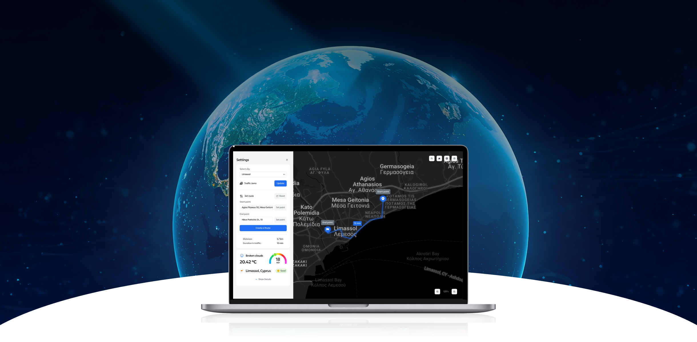
Program-Ace built scalable Cesium 3D digital twins for Limassol and Leipzig, enabling real-time browser visualization of terrain, structures, and live urban data.

Background Info

Program-Ace implemented scalable 3D digital twins for Limassol and Leipzig, providing browser-based visualization of terrain, structures, and live urban data streams. The certified solution, built with Cesium, delivers real-time operational insight for municipal as well as environmental stakeholders.

Business Challenges

1
Fragmented data ecosystems
Originally, the data was stored in discrete dashboards, which posed a challenge for city teams in accessing reliable information. The analysis was impeded by the lack of integration of weather, air quality, traffic, and environmental metrics, which prevented the timely evaluation of neighborhood-level changes that were essential for infrastructure monitoring.
2
Limited visualization for planning
Static reports and outdated map formats restricted the detailed study of metropolitan regions. Planners and municipal departments struggled to assess terrain, building distribution, and environmental overlays, creating uncertainty around resource allocation, project feasibility, and targeted development efforts across urban districts.
3
Adoption barriers
Many existing tools need the installation of proprietary software or specialized hardware. Public institutions need straightforward deployment and browser compatibility. Without such access, digital twin solutions cannot be adequately integrated into daily operations or spread across other municipal departments.

Approach and Solution

Program-Ace delivered a secure browser-based application that consolidates geospatial data and live signals into a single decision-support system. The design focused on accuracy, usability, and cross-sector adoption.

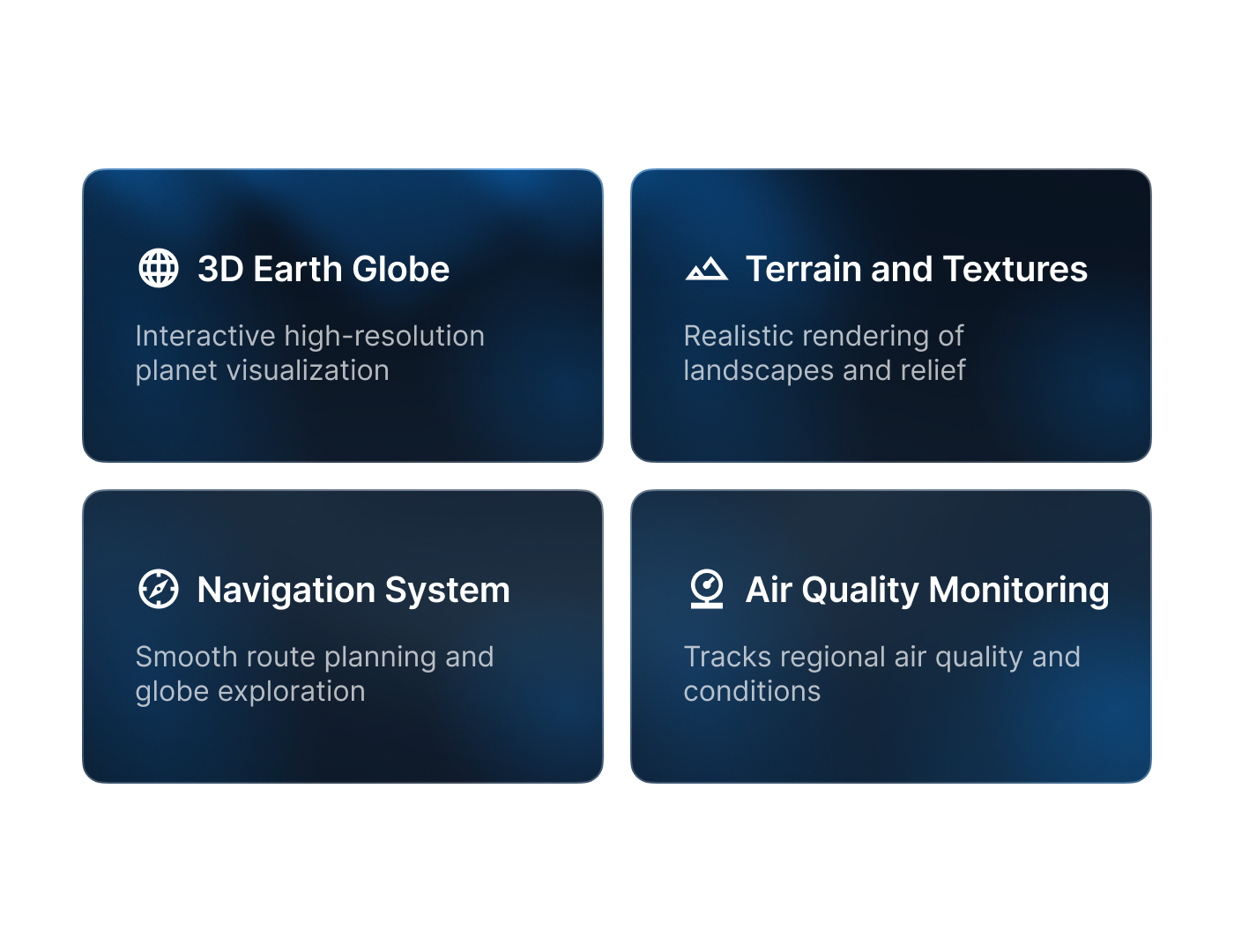
  • Geospatial foundation. Cesium World Terrain provides elevation accuracy, OSM Buildings supply structural geometry, and Bing Maps deliver realistic satellite imagery, ensuring spatial context across entire metropolitan regions.
  • Real-time overlays. APIs from OpenWeatherMap, HERE, OpenAQ, and WAQI stream live environmental and mobility metrics directly into the model, supporting instant interpretation and zone-level monitoring.
  • Analytical features. Heatmaps, influence and air pollution zones, as well as comparative timelines, now allow stakeholders to evaluate environmental change and measure impacts across periods.
  • User experience. Interactive camera controls, responsive layouts, and contextual details have simplified navigation, creating a tool usable by technical experts along with administrative staff.
  • Scalable architecture. Built with React and CesiumJS, the solution supports browser access across operating systems without additional plugins.

The outcome is a functioning urban digital twin that combines static spatial layers with dynamic data, providing one clear and operational view for stakeholders.
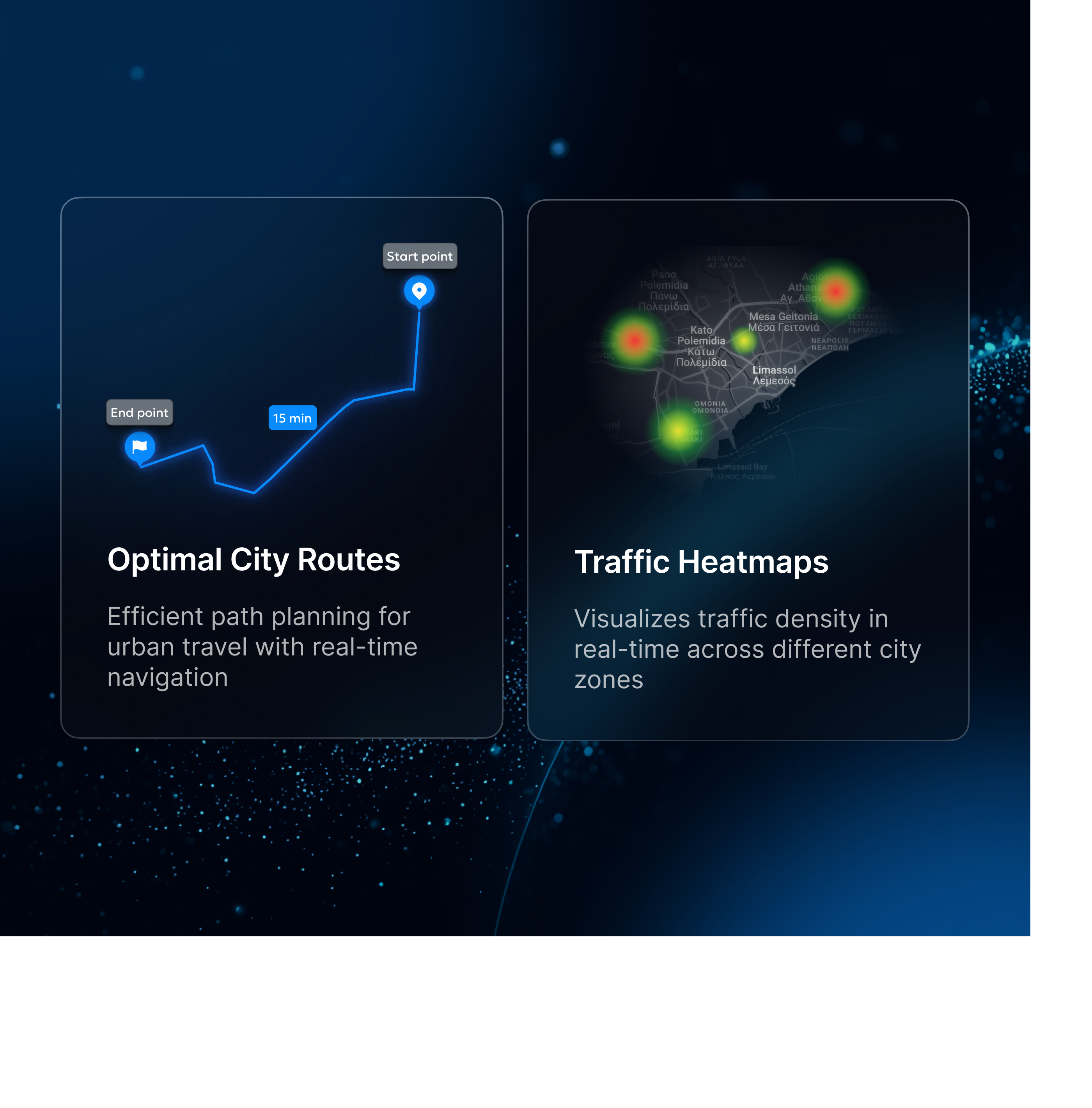
Approach and solution 1400x1080

Technology Stack

The project uses React for application logic and CesiumJS for visualization. Cesium ion streams terrain and building datasets in 3D Tiles format. APIs connect external services for weather, air quality, and traffic data. The platform is optimized for performance across devices, resolutions, and modern browsers.
Cesiumjs
React case logo

Audience

The developed platform was designed for organizations that require reliable geospatial insight within browser-based applications.
Aec case icon
Urban planning authorities
Businesses icon
Infrastructure and utilities teams
Monitoring case icons
Environmental monitoring agencies
Real estate case icon
Real estate stakeholders
Cesium value delivered

Value Delivered

Program-Ace's Cesium solution creates a reliable model for urban data integration that works immediately within municipal and enterprise environments. By merging multiple feeds into a spatially accurate 3D context, it accelerates planning cycles and supported informed collaboration.
  1. Enhanced situational awareness. The 3D city model shows teams real-time data on the weather, traffic, and air quality. This gives organizations a better understanding of local circumstances and makes it easier to plan operations.
  2. Improved collaboration. Sharing a unified spatial platform enables city planners, environmental agencies, and infrastructure managers to coordinate effectively. The single source of truth minimizes inconsistencies between data reports and increases confidence in collective decisions.
  3. Faster analysis cycles. The application reduces time lost in consolidating separate datasets. The app users can move from data discovery to actionable insights in significantly shorter timeframes.
  4. Future-proof scalability. The created system architecture supported continuous extension through new data providers and additional regional coverage. Clients can expand the solution without redesign, which was our priority – to ensure the cost-efficient growth of urban digital twin initiatives.
Forbes badge 2025
Top metaverse development company program ace 2025
Iaop award footer
Immersive learning experiences company program ace 2025
Unity certified dev logo
Top ar vr development company 2025
Eba logo footer
Start A Project With Us

Tell us more about your business needs to help us serve you better. The more detailed information will allow us to route your inquiry to the most appropriate person in our team.

First Name *
Last Name *
Email *
Phone number *
Company name
Budget *
Message *
Required fields *
Please upload a file types: jpg, gif, png, pdf, doc, docx, xls, xlsx, ppt, pptx, max 32mb

By sending this form you agree to our Privacy Policy. The information you provide will be added to our CRM system for further communication.


Cyprus:   +357 22 056047
USA:   +1 888 7016201

Headquarters:
Nicosia, Cyprus
Program-Ace Europe Limited
 Archiepiskopou Makariou III,
 1, Mitsis Building No. 3, Office 310, 
1065, Nicosia, Cyprus

Representatives: USA, Poland, Ukraine, Slovakia, Hungary, Japan

30+ Years on the market
150+ Talented experts
900+ Projects delivered

Our Clients
Logo unity
Gap logo footer
Logo wargaming
Logo flying wild hog
Logo gsn games
Logo namco
Logo bigpoint
Logo hopster
Logo pixomondo
Logo magrabi