Project snapshot
Industry
Crop insurance, agriculture, oil and gas, construction
Services
Cloud platform, AR/MR, IoT, computer vision, big data
Platform
Cloud platform with AR/MR apps
Technology
Unity, Vuforia, ARToolKit, OpenCV, MRTK, Arduino
Overview
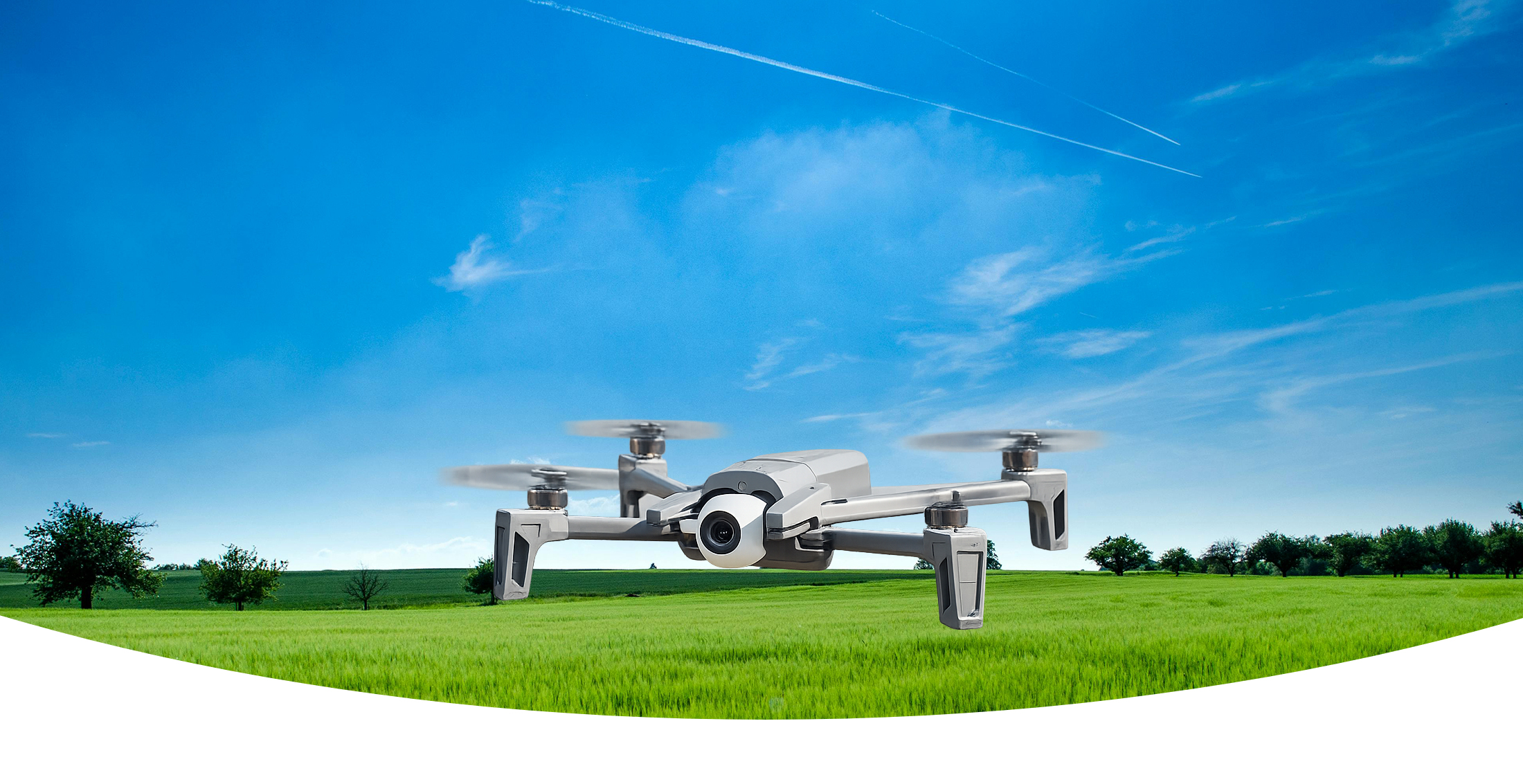
Program-Ace built a cloud platform that turns drone and sensor data into automated damage, risk, and object detection, then visualizes the findings in AR and MR, so insurers assess claims faster and more objectively than a manual field survey allows.
The challenge
The client wanted to bring drone technology into insurance, where claims still relied on slow, subjective manual surveys. That meant combining AR, MR, and IoT into one workflow and analyzing large volumes of aerial data to support objective decisions.
The solution
Program-Ace built a deep-learning platform that reads aerial imagery and visualizes it.
Cloud-based aerial image recognition.
Drone and sensor IoT integration.
Deep-learning damage, risk, and object detection.
AR/MR visualization of collected data.
Real-time remote distance consulting.
Technology and approach
How we built it
The platform pairs OpenCV and deep learning for aerial image recognition with Arduino-based IoT for drone and sensor data, then visualizes results through AR and MR built in Unity with Vuforia, ARToolKit, and MRTK, so a field assessment becomes a reviewable, shareable dataset rather than a clipboard estimate.

Unity

Vuforia

ARToolKit

OpenCV

MRTK

Arduino
Results and value delivered
The platform made claim assessment faster, cheaper, and more objective.
Far faster claim measurement from aerial data.
Lower surveying cost.
More objective, precise damage assessment.
Easy sharing of results with stakeholders.
Results and impact
Measured outcomes
5-10x
Faster claim measurement process
5%
Reduction in surveying costs
15-30%
Decrease in insurance payouts
Services and expertise used
Project gallery
Related success stories
FashionTek mobile boutique app

Let's Talk
Start a project with us
Tell us about the procedures you need to train and the outcomes you want to measure. We will route your inquiry to the right expert and map a custom approach.
Cyprus +357 22 056047 · USA +1 888 7016201
30+
Years on the market
900+
Projects delivered
150+
In-house experts